Zoom waaaaaaay in on the southern Indian Ocean east of Madagascar on Google Maps. Zoom far enough and, eventually, out of the ocean, will appear the island of La Réunion. Located at a couple degrees north of the Tropic of Capricorn in the Southern Hemisphere, the tiny island is just 63 kilometers in length and 45 kilometers in width.
Where the island, an overseas department of France since 1946, lacks in its two-dimensional proportions it more than makes up for itself in its third, vertical dimension. Holy verticality! Over the last about two million years, the island has formed as a geologic product of the Réunion hotspot on the Earth’s crust, via volcanic activity. While Piton des Neiges is the island’s highest point at 3,070 meters above sea level, it is Piton de la Fournaise, which is still a lofty 2,631 meters in height, that gets a bunch of attention because it’s the island’s remaining active volcano–and it regularly erupts.

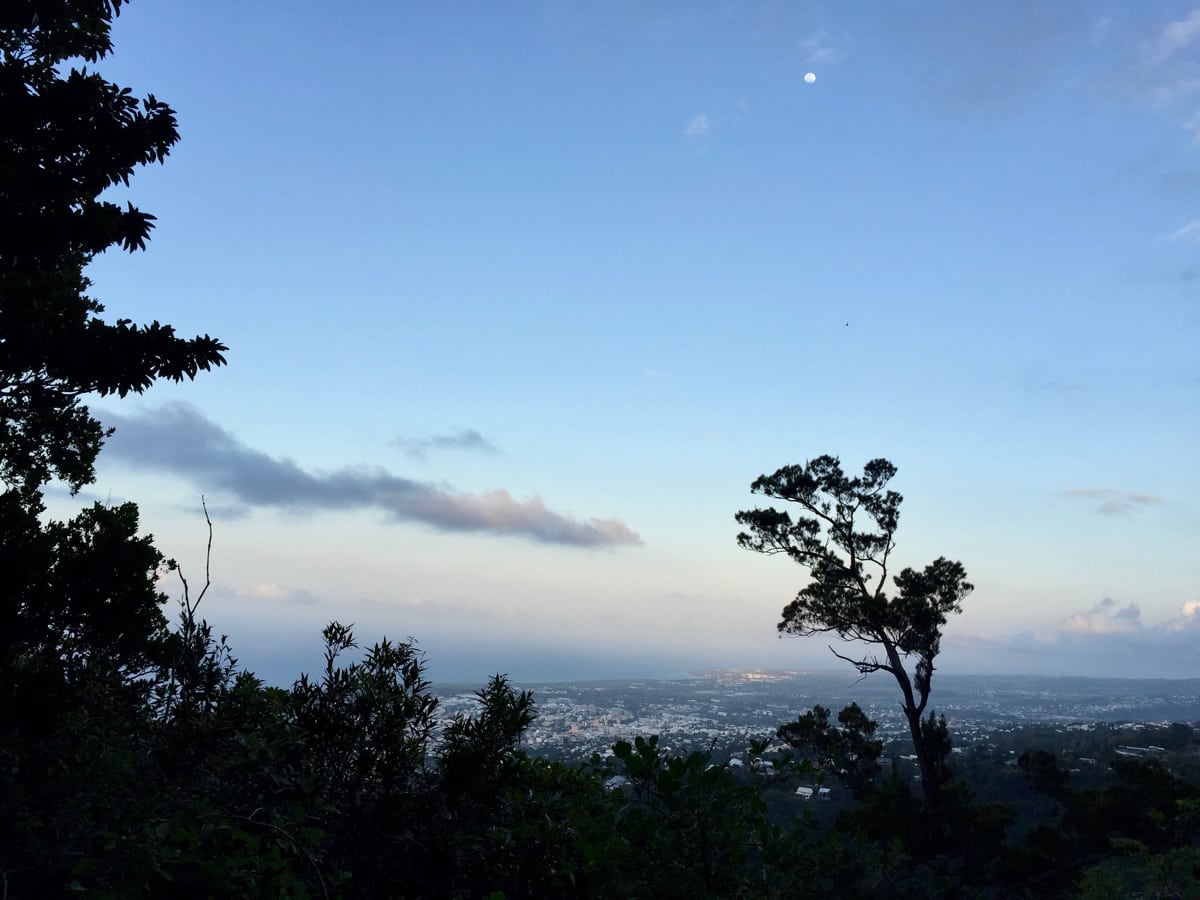
The view from Pic du Maïdo on the rim of the Cirque du Mafate, one of the island’s calderas, or collapsed volcanoes. Photo: iRunFar/Meghan Hicks
La Réunion, now home to some 850,000-plus inhabitants of significant ethnic diversity, is believed to have existed relatively uninhabited until the 1500s, when it was explored by Portuguese sailors, and then it was colonized by France in the 1600s. The ‘importation’ of slaves–slavery was legal on La Réunion until the mid-1800s–from Africa, Madagascar, and Asia from the 1600s to the 1800s helped lead to the island’s diverse population. After that, the continued arrival of indentured laborers and migrant workers contributed further to its diversity. French, Creole, Chinese, and Indian ethnicities make up most of the island’s population today.
Sugar-cane and other agricultural-product export, tourism, and agriculture for local consumption make up the largest parts of La Réunion’s modern economy. The island is well-developed at its lower altitudes, with highways, local roads, cities, towns, and the majority of the island’s population living below roughly the 1,500-meter-altitude mark. Above that, civilization yields to almost-impenetrable forests, cliffs and mountains, and stark volcanic terrain. Curvy roads and small villages are located here and there at the island’s higher altitudes, however. In 2007, Réunion National Park was established to protect the island’s largely unspoiled higher terrain and it covers a little over 40% of its land area. In 2010, La Réunion was also designated a UNESCO World Heritage Site.
There are 600-plus miles of designated trails on La Réunion, what has to be a lifetime of exploration for locals and–at least for me on my first visit to the island in 2016–an overwhelming offering for island visitors. Three Sentiers de Grande Randonnée, or GRs as they are called in Europe, have been established on the island, the GRR1, which encircles the Piton des Neiges for 56 kilometers, the GRR2, which makes a rough north-south island traverse for 140 kilometers, and the GRR3, a 39-kilometer tour of the Cirque du Mafate, a remote volcanic caldera. And there are just loads more trails.
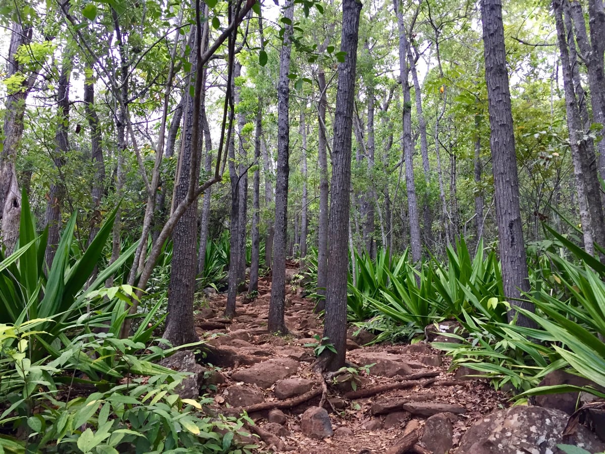
La Réunion’s trails come with significant and, in places, extreme vertical offset. Though everything, everywhere is technical and rocky, trail substrates vary greatly depending on where you are on the island. On the wet east side of the island, expect mud, trails filled with water, and loads of tree roots. In the high-altitude open volcanic terrain, expect sharp rocks and dusty pumice. At lower altitudes near population centers or on popular routes, expect trails modified to support a lot of foot traffic with miles of cobbles and built stairs. Hiking and trail running are extremely popular on the island, with both locals and the island’s large volume of tourists. Expect company wherever you are, even in the island’s most remote areas.
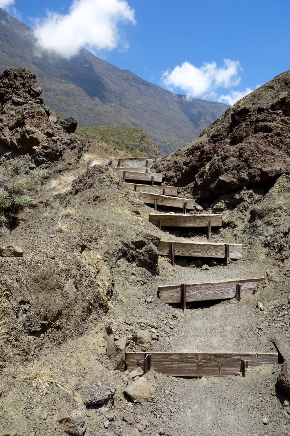
Steep and technical trails which include stairs, rocks, and roots are normal on La Réunion. Photo: iRunFar/Meghan Hicks
Trail Running on La Réunion
There is so much potential trail running terrain on La Réunion that it’s hard to know where to start in describing opportunities available to island visitors. Here’s my best attempt!
Around Saint-Denis
Saint-Denis, the capital city of La Réunion, is located on the north part of the island. While it does have the island’s largest population, there is no shortage of trails within close driving distance.
The Parque du Colorado is a good start–it’s where I went basically straight off the airplane for my first run on the island. The park is located at about 650 meters altitude but only a 10-kilometer drive from downtown Saint-Denis, which is at sea level, basically. The trail from the park follows a ridge on the west side of Riviére Saint-Denis, one of the main feeder drainages for the city. Eventually, after some ridgeline climbing, the trail very steeply drops all the elevation you’ve gained before steeply climbing again and linking in with the island’s higher-altitude trail network. This is an out-and-back unless you plan for a long run from here up onto the higher-altitude trails. The trail is immediately technical with roots abound!
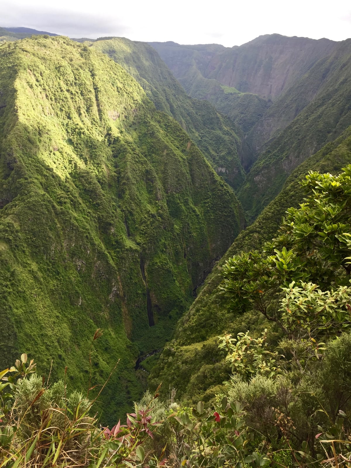
A view from the trail above Parque du Colorado, looking into the Riviére Saint-Denis. Photo: iRunFar/Meghan Hicks
Even closer to downtown Saint-Denis is Forêt de La Providence, which is the northern terminus for the GRR2. I recommend a morning or evening run here, as you’ll get to see Saint-Denis locals out for their pre- and post-work exercise. Again, it’s an out-and-back on the GRR2, except that there’s a short, official nature loop and a couple social trails off the GRR2 down low. Again, be prepared for technicality straight away.
Cirque du Mafate
Almost everyone who comes to hike or trail run on La Réunion has the Cirque du Mafate at the top of their list. The cirque is roadless, high altitude–and absolutely stunning. I did just one (very long) day of running in the cirque, and that was not near enough. I recommend at least an overnight, including a sleepover in a gite, for at least two days in there. There are numerous on-foot access points, and most of them involve a heckuva’ drive to a trailhead and then a hoof to get up and over/down/through the cirque’s steep walls. I went in via the Col des Bœufs on the cirque’s northeast side, but other possibilities are via the Col du Taïbit on the south side of the cirque, Pic du Maïdo on the west side, and Riviére des Galets on the northwest side. You can also hire a 4×4 truck ride up a long ways on the Riviére des Galets to shorten the run in from there, or hire a helicopter dropoff to a number of places in the cirque.
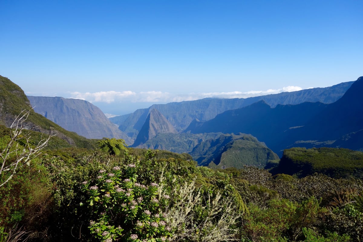
A view of the Cirque du Mafate from Col des Bœufs, located on the northeast side of the cirque. Photo: iRunFar/Meghan Hicks
You cannot go wrong with wherever you go on the robust trail system inside Cirque du Mafate. The kilometers pass slowly due to the trails’ verticality and technicality, so err conservatively on planning your route, but the experiential payoff is insane. Weekend days bring out the local population in addition to tourists, which creates a fantastic social experience. Want to see a big family with little kids and grandparents and everyone in between banging out those steep trails? Go to the cirque on a weekend.
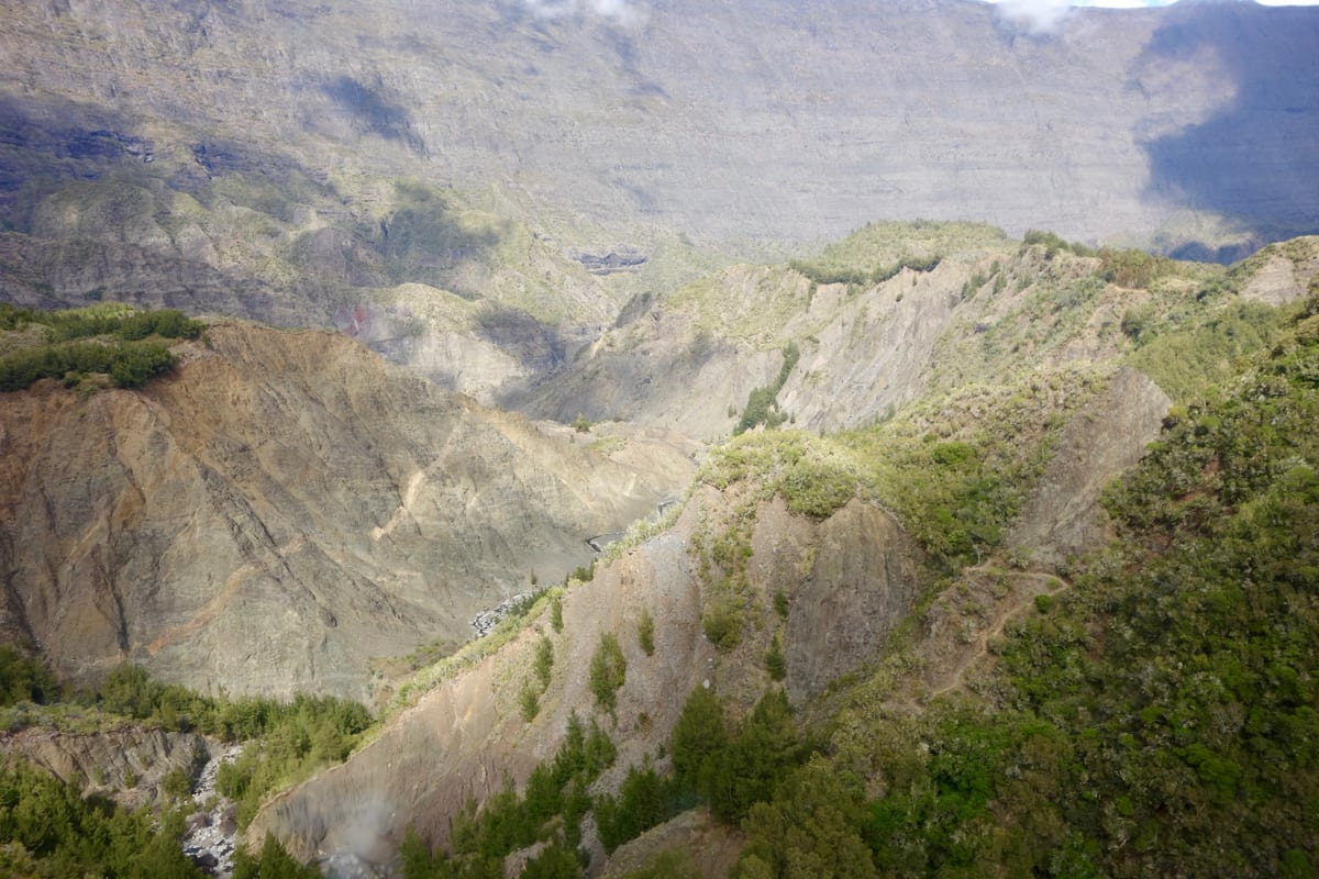
The extreme topography in Cirque du Mafate. Note the switchbacking trail. Photo: iRunFar/Meghan Hicks
You’ll undoubtedly run through one or a couple of the cirque’s villages. Build into your plans time to explore them. Some of the towns have history plaques in front of their schools, churches–yep, there are churches way in there!–and community centers. There are cemeteries, solar arrays, rain-catchment systems, possibly a gite or cafe at which you can buy lunch or a drink, and maybe a community activity in progress. When I ran through La Nouvelle, a First Communion had just happened. An amazing moment.
Piton des Neiges
It’s a natural thing for many trail runners to want to climb to a place’s high point, in this case, Piton des Neiges at 3,070 meters altitude. There are several ways to run–er, powerhike, come on, now–to Piton des Neiges, but the fastest and most common way is from above the mountain town of Cilaos at the trailhead of Le Bloc. From there, it’s just 7 kilometers and 1,740 meters of climb one way to the summit. Just. The first 4k climbs on the joint GRR1 and GRR2 to Refuge de la Caverne Dufour, a gite that many hikers overnight in ahead of their summit bids. From there, it’s another 2.5k on the Piton des Neiges summit trail. Plan accordingly with the weather, avoiding stormy days and try to summit before 9 or 10 a.m. to increase your chances of a view, as even great-weather days often involve the summit and its surrounding mountain girth becoming shrouded by clouds around mid-morning.

Scenery in the vicinity of Cilaos, with the island’s high point of Piton des Neiges obscured by clouds. Photo: iRunFar/Meghan Hicks
Island’s East Side
La Réunion’s east side is its least populated and least visited region. I always have a thing for underdog stories, so when a local suggested a couple trail possibilities on the east side, I was in. The trails on this side have a certain, je ne sais quoi. Oh wait, I do know what: they are wet. Yep, it’s the wet side of the island and even during the dry season, it’s wet.
Takamaka is known in the canyoneering world as one of the island’s best. A local who is really into canyoneering recommended I try the trail here, no canyoneering, but as a way to experience the east side of the island. My, oh my! First of all, there’s the adventurous drive to get to the trailhead at Point de vue sur Takamaka. After that, use the trail, which travels on the north side of the canyon carved by Riviére des Marsouins, for an out-and-back adventure. Jungle-y vegetation, slippery rocks and roots, a couple metal bridges which allow you to hover over water features, and springs ‘springing’ forth out of the side of the mountain, this is something else. To call this a trail running opportunity might be a bit of an overstatement in some places, though, due to the technicality.
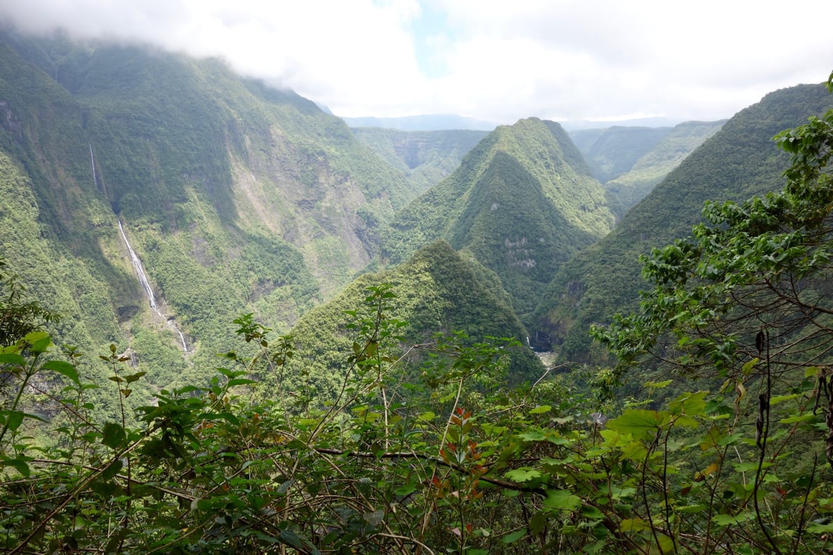
A view of the rainforest, waterfalls, and steep terrain in the Riviére des Marsouins. Photo: iRunFar/Meghan Hicks
I don’t know why I originally chose to visit Grand Étang, because when you type that into Google Translate, the offered translation from French to English is ‘large pond’ and that’s not sexy. Full disclosure, a local did tell me it was a nice picnic spot. The whole trail, a lollipop loop from its namesake trailhead, is just 6k in length, with an additional side diversion to see a waterfall and another one to visit a viewpoint above the lake. And this one goes by quick because, gasp, it’s almost flat. I didn’t say non-technical though, buyer beware! A visit to Grand Étang is a bit of a cultural experience because it is, indeed, an excellent and often-used picnic spot for locals.
Piton de la Fournaise
I did not visit Piton de la Fournaise, and I am still regretting it! The island’s remaining active volcano is reportedly a feisty one, erupting with some regularity. Most people begin their exploration of the volcano from the Pas de Bellecombe viewpoint and trailhead, located at about 2,350 meters altitude. You’ll drop briefly off a caldera rim, and then rise through stark volcanic terrain toward the Piton de la Fournaise summit, where the modern volcanic activity takes place. Alternately, you can also head south from Pas de Bellecombe on the lesser-used trail around the caldera rim. Like climbing Piton des Neiges, watch your weather and visit early as clouds will often obscure the scenery by mid-morning. Also, of course, active volcanic activity can close the trail to the summit, so watch this website. (Alternately, read the newspaper or ask a local, as the volcano’s eruptions are of significant local interest, perhaps obviously.)
Trail Races on La Réunion
Given that the trail running scene on La Réunion is big, it’s not a surprise that there are at least a couple dozen trail races on the island annually. Here’s just a sampling, ones that might be long and interesting enough to attract off-island travelers:
Grand Raid Réunion
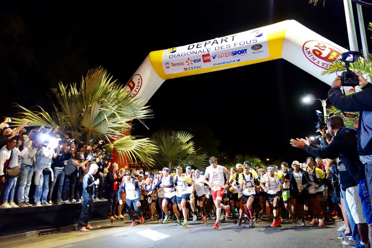
This week-long October festival has been held since 1989. It now contains four races and is the island’s main trail-racing gig. The big-deal race of the event is the Diagonale des Fous, a 165-kilometer outing which traverses the island from its south to north, packs in more than 9,500 meters of climb, and hosts 2,350 participants each year. Sheesh! The event’s secondary races are the Trail du Bourbon (111k), the Route of the Mascareignes (65k), and the new-in-2017 Zembrocal Trail, a three-person relay race (185k).
The Diagonale des Fous is the race that brought me to La Réunion in 2016, to cover the competitive field and to attempt to tell the race’s cultural story first hand. I invite you to read the in-depth article I wrote on how the 2016 race went, in which I try my best to describe the race scene. Also, make sure to read this article by local Thierry Caro on the cultural setting in which the event takes place. iRunFar hosts three race reports by English-speaking runners who’ve taken part in the race, Joe Grant’s 2012 report, Glenn Mackie’s 2013 report, and Jason Schlarb’s 2014 report. Finally, in 2016, I interviewed fast locals Freddy Thévenin and Alexandra Clain before the race, and their interviews offer great local insight.
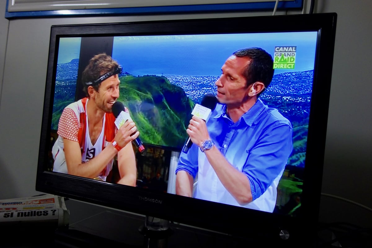
The Diagonale des Fous is so popular on La Réunion that it fully occupies local TV and radio stations for days. Here, 2016 men’s champion François D’haene is interviewed on live TV moments after finishing the race. Photo: iRunFar/Meghan Hicks
Other Trail Races
- The Mafate Trail Tour is a 75k race in November that starts and finishes at low altitude in Le Port on the island’s northwest side. The lollipop course climbs up into and around the Cirque du Mafate before returning to Le Port again.
- The Raid 97.4 hosts 55k and 95k events, with the longer one transecting the island from Le Port in the northwest to Saint Joseph in the southeast. The event is held in June.
- The Trail and Semi-Trail de Cilaos are 35k and 23k races starting and finishing in Cilaos and encircling the town on the trails around it. Held in July.
- The Trail du Colorado is a 42k race in June starting and finishing in Parc du Colorado, not too far from the Saint-Denis city limits on the north side of the island.
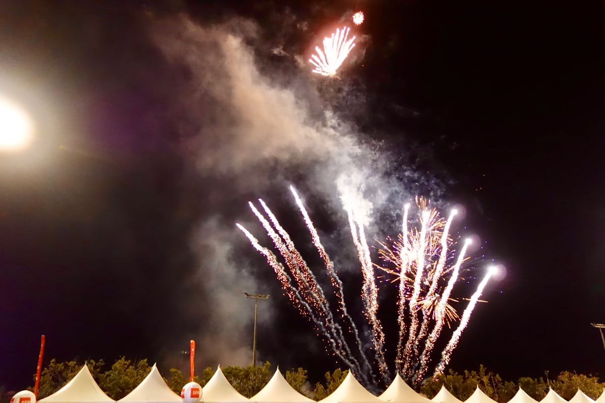
Fireworks at the conclusion of the 2016 Grand Raid Réunion awards ceremony in Saint-Denis. Photo: iRunFar/Meghan Hicks
Logistics
I found a scarcity of information available online in English about the logistics of traveling to and being on La Réunion. Here are some of the logistical matters of import to trail runners visiting from off the island. Basically, here’s what I wish I had known ahead of time!
Climate and Seasons
Being in the Southern Hemisphere, summer occurs from November through April, which one should interpret as the season with warmer temperatures, a lot more rainfall, and a potential for cyclones. May through November is, ahem, not winter, not summer, just the tropical version of somewhat cooler and a lot drier. Expect high relative humidities throughout the year, however, and temperatures which moderate as you increase in altitude. The wind and weather, generally, all come from the east, making it the island’s wetter side. The island’s lofty heights serve as a weather block to its western geography, which sits in its rain shadow.
Language and Culture
French is the island’s official language, but Réunion Creole is also spoken by just about everyone on the island. Come prepared to wiggle your way around with the French language, Google Translate, and a lot of smiling and miming if the other stuff doesn’t work, as English is little spoken. People are extremely friendly, and they’ll go out of their way to answer questions and help you if you ask for it, but their assistance is not going to come in English.
As discussed earlier, La Réunion is an island of mixed heritage. Most abundant are the islanders who have mainland France and Creole heritage, the latter being a mixture of cultural backgrounds as a result of its history of slavery and the ‘importing’ of indentured workers from off the island as well as modern migration to the island by various Africans and Asians and residents of mainland France.
Ethnicity on the island and the cultural nuances associated with it are rich topics. There is so much here that I wasn’t able to learn about due to the constraints of time and language barriers, so consider what I’m about to say as a kindergarten-level, bull-in-a-china-shop interpretation. Réunionese are proud of their various ethnic histories and ethnicities. They will be the first to tell you about their history of slavery, including some painful anecdotes which are told in matter-of-fact manner, not in the hush-hush tones you might expect. For example, in a hotel restaurant on my second day on the island, I listened as a local told me and a couple other tourists about how some of the higher-altitude villages in the Cirque du Mafate–as well as the trails to them on which I would shortly travel–were created as slave hideaways and that a couple of them were sites of brutal attacks by slave owners on discovered escapees.
But while racism is still quite a thing in other places where colonialism and slavery were a part of relatively recent history, it feels less so on La Réunion. There is definite economic and industry stratification based on ethnicity–locals will tell you that the Creole are agriculturalists, as an example. The notion of ‘peaceful coexistence’ has to be a trite simplification of the situation, but there’s easily more of that on La Réunion than in places with similar histories. I’ll take my bumbling horns out of the shop now, before I break any more beautiful china, but, in summary, ethnicity is a fascinating part of La Réunion’s story, I’d love to learn more, and I encourage you to ask questions and learn, too.
[Author’s Note: I welcome improvements and corrections to this section. Leave a comment if you are Réunionese and you’d like to help visitors to your island understand your island’s ethnicity. Thank you so much.]
Getting to and from La Réunion
La Réunion is a very long way from anywhere, except maybe South Africa, Madagascar, and Mauritius. Everywhere else and you’re pretty much guaranteed a massive flight cost and a couple long-haul flights to get there. Roland Garros Airport (RUN) is located just east of the capital city of Saint-Denis and is the island’s international airport. Several airlines fly to/from La Réunion, including Air Austral, Air France, Air Mauritius, and Corsair. Wear your compression socks!
Getting Around
The easiest way to get around, especially to remote trailheads on a flexible schedule, is by rental car. You might think being on a tropical island promises leisurely and lovely driving, but be prepared for madness. On the main, two-lane highways, there are speed limits but no one adheres to them. There’s just a fast lane on the right and an even-faster lane on the left. It was actually pretty hilarious because all the cars are tiny and, as I drove around the island, I kept having images of these little, lightweight steeds lifting off the ground and into hover mode. I digress.
Once you get off the highways, you have two-lane roads interspersed with Euro-style roundabouts, but be ready because people fly on these, too. This is especially relevant if you’re a pedestrian looking to cross the road or running on a paved road to connect between trails. Be careful!
Finally, I must mention the mountain roads. Look, these aren’t like village roads in the United Kingdom or European Alps mountain roads where two-way-traffic roads aren’t always wide enough for two cars for long stretches. The roads are mostly wide enough (with a few hair-raising exceptions), but the curves go on forever–locals like to boast that the road to the mountain town of Cilaos has more than 400 curves–and the shoulders are about 10 centimeters wide before there’s a (sometimes guardrail-ed) cliff on one side and a giant cement drainage ditch on the other. I still have nightmares about what would happen if I dropped a tire or two into one of those super-deep ditches. It may be a bit intense, but a rental car is a great option for a trail runner, try it!

An example of the steep drainage ditches next to many mountain roads on La Réunion. Photo: iRunFar/Meghan Hicks
There are pricey taxis available, which can’t really be used for getting to trailheads or anything, though, just between major cities, like the airport and your hotel or similar. As far as I understand, pay-for-private-ride companies like Uber and Lyft don’t exist on the island.
Car Jaune is the island’s main bus service, which runs through and between the major towns on the island’s lower-altitude perimeter. There are also smaller bus lines–four of them maybe, if I learned that correctly?–which climb up/down the roads going to the more remote towns higher up in the island. I never tried the bus services, and the busses weren’t as commonly used by locals as I’d expect. So many people have their own cars!
Helicopters are a regular part of life for La Réunion’s high country. On a good-weather day, expect to hear them regularly ferrying food and supplies into and trash out of the island’s remote towns and villages. Also, helicopters are regularly used to drop off hikers and backpackers, and as a sightseeing means for less-abled-bodied folks. The cost for tourist helo services is high for obvious reasons, but given their common use on the island, I’d probably worry less than usual about the ethical implications of their use to access remote terrain.
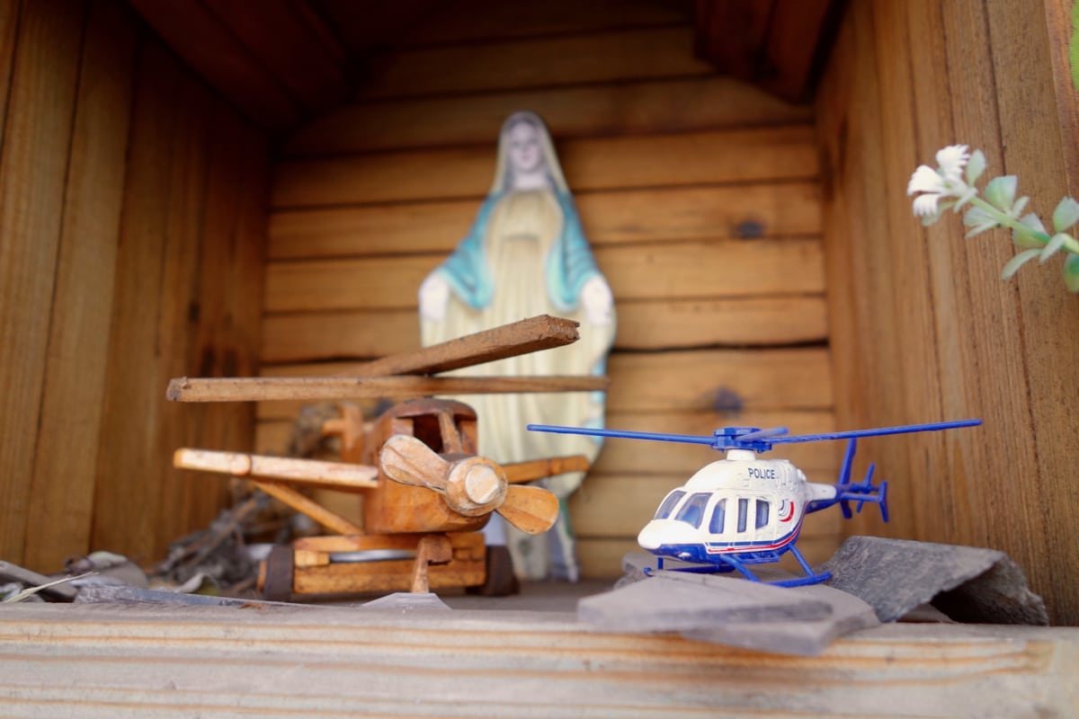
A trailside devotional to what looks like the helicopters and airplanes, which are a part of life on La Réunion. Photo: iRunFar/Meghan Hicks
Where to Stay
The island’s west side is where most of its tourists stay. La Réunion is known as a bit of a beach destination for mainland France residents, and the west side has the closest thing to beaches on the island. Much of the development along the west side and close to the ocean is, thusly, catered to beach-going tourism. The mountain town of Cilaos, located at about 1,200 meters above sea level, offers the best opportunity for staying up higher on the island, as it has several small hotels and a number of guesthouses. The capital city of Saint-Denis on the island’s north side has some international and French chain hotels, as well as lots of local hotels and guesthouses.
Booking many of these establishments from afar can be a challenge, as many small hotels only accept phone reservations. Some of the tourist-y beach hotels can be reserved through websites like Travelocity and Hotels.com. The AirBnb era is in full effect on La Réunion, where you can rent anything from the shed in someone’s backyard to a condo by the beach.
A small note, if you plan to visit during Grand Raid Réunion, book your lodging early.
If you’re going to venture onto Le Réunion’s trails, you’ll encounter their plentiful gites and guesthouses. Consider these establishments as kin to the mountain refuge of Europe and elsewhere around the world. Almost all of them are privately owned by local families, some of them for multiple generations. They also require booking–almost exclusively by phone–in advance and they regularly fill. Generally, no English is spoken by whomever answers the phone. It’s common to book a bed (oftentimes in bunk style and sometimes there are also private rooms offered) along with dinner and breakfast. Sometimes, you can also pay for a take-away lunch to eat on the trail. Some of these guesthouses have accompanying cafes at which you can stop for a drink or meal while on the trail, but only plan on those whose lunch/daytime hours you can ascertain in advance, by calling.
Other Tips
- Get a local SIM card for your phone, which will make it cheap to use your smartphone around the island. At the time of iRunFar’s 2016 visit, SFR Réunion had the best overall island coverage, and Orange seemed to have the best coverage in the island’s bigger cities. There are stores located right by the airport and in Saint-Denis.
- Visit the local fruit and food stands. They are plentiful on the island. The fruit and vegetables are about half the price as they are in grocery stores, and delicious. Also to be found at roadside stands in some towns are local Creole food, like rice and meat mixtures, roasted meats, and Creole-adapted curry. It looked to me like many Réunionese shopped at one of the couple major box stores around the island for groceries and other necessities, but every town also had one or more grocery store of varying size.
- The possibility of car break-ins at higher-altitude trailheads is something that I saw mentioned several times online and in guidebooks. There are even a couple trailheads that access the higher-altitude trail systems which had private, for-cost lots in which you could pay to park your vehicle securely. I actually tried to use one but it was already full when I got there early one morning, so I ended up parking on the side of the road without a problem. I also parked my car a number of times at other trailheads, and didn’t encounter an issue.
- Offline Google Translate, offline Google Maps, and an offline trail-map app like Gaia or similar will help your journeying so much. Download them all!
- Water access on the trail via creeks and springs will vary significantly based upon where on the island you are. For example, water is overly abundant on the island’s wet east side, but not so much on the trails above Saint-Denis on the island’s north side. Whatever ‘wild’ water you find, treat. Livestock range all over the island, including in its highest terrain, and there’s an unfortunate lack of bathrooms on high-use trails, which is causing a visible human-waste issue in some places. I wouldn’t trust a water source there as far as I could spit it. Some trails connect villages and almost all the villages have a public water spigot or two.
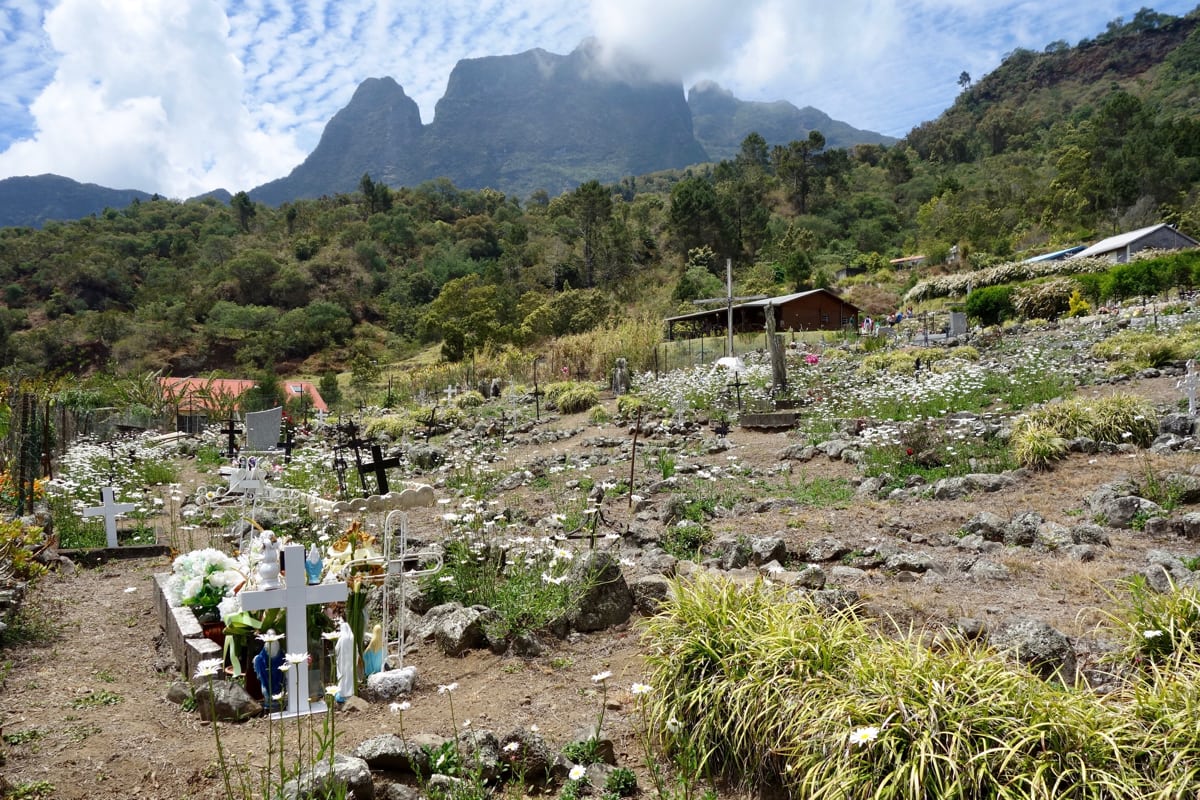
The small villages inside the Cirque du Mafate have existed for centuries. Here is one of the village cemeteries. Photo: iRunFar/Meghan Hicks
Call for Comments (from Meghan)
- I visited Réunion Island in the fall of 2016 for 2.5 weeks, and this article represents my best effort to document what I learned. But it’s just a start and I’d love to see more info coalesced in the article’s comments. Thanks!
- Are you Réunionese? If so, what can you share for potential visitors to your island? More trail information? More logistical how-tos? More details about the island’s culture? Please leave a comment.
- Have you visited La Réunion? If so, leave a comment to share what your experience was like and what you learned.
