[Editor’s Note: The article was written by guest writers Max Keith and Moises Jimenez, who together set the fastest known time for the 34-mile circuit in 6 hours and 27 minutes in January, 2015.]
I’m pretty sure nowadays Patagonia is a very well-known place worldwide, or at least a well-known place for outdoor pursuits. I bet that for most people, though, Patagonia is associated mostly with Torres del Paine or El Chalten and the Fitz Roy area. Well, it turns out that there are a lot of hidden jewels that are as spectacular as the spots just mentioned, but not as popular.
One of these hidden jewels is the Aysen region of Chile. You may have heard of it as a fly-fishing paradise, or maybe for the mega-dam project that was shot down by the government a few months back. The capital of the region is the city of Coyhaique and its slogan pretty much says it all: “Life Reserve.” The city overwhelms you as soon as you enter it.
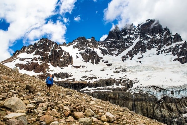
Cerro Castillo. All photos: Max Keith
At just two miles from the city center you find the Reserva Nacional de Coyhaique, a park that has lots of amazing trails to run and a summit to visit. If you don’t mind being hit by some heavy wind coming from the coast, Cinchao’s Peak is definitely worth the effort, as you have a remarkably panoramic view of the area and a real feel of Patagonia’s wild weather. This is the easiest way to have a taste of the beauty of the region without traveling too far away from the city (you can actually see it from every viewpoint you find along the trails in the park) and it’s also a good playground for running.
I bet you can spend a week without repeating any trail and visiting just the surrounding areas of the city; Divisadero, Cordillerano, Mackay, and Cinchao’s Peak are just a few to name here that are worth visiting. But now, if you really want to feel the enormousness and wilderness of Patagonia, you need to go far from the crowds and start visiting the tiny, little villages that are along the famous Carretera Austral. The trail that I’m about to describe is a majestic place, and even if it is one of the most popular destinations in the area, you will never find it full of people (in comparison to parks like Torres del Paine, for example) because it’s pretty much a secret spot that was only discovered by outdoor enthusiasts a few years ago.
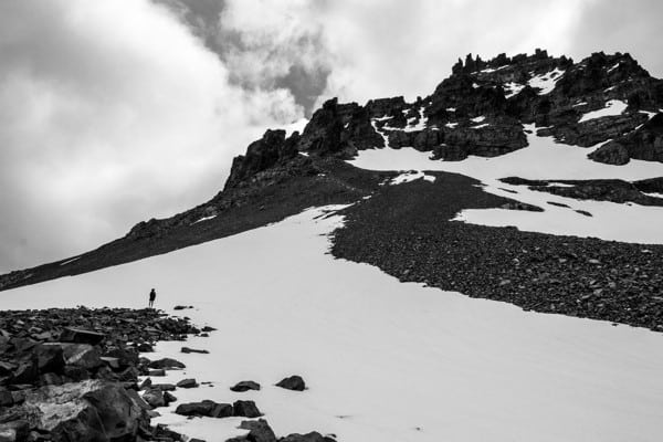
An imposing Cerro Castillo.
About 60 miles south from the city of Coyhaique, you will find a place called Horquetas Grandes, which is where the circuit of the Cerro Castillo officially starts. Don’t expect to find any sign of it. You will need to ask the locals for this spot (as in most cases in Chile), but once in it, don’t worry, as it is pretty easy to follow all the way to the end with a decent map.
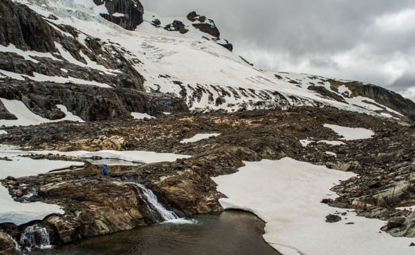
A glacier zone near the Cerro Castillo route.
The first part of the trail goes by really quickly. It’s about eight miles on doubletrack before you find the ranger’s home where you need to register and pay the fee for entrance to the park ($10 U.S.). Continuing with the circuit, soon after you leave the ranger station you hit the riverbed of the Turbio River where you start to see the first rock formations that give this trek its name. This is the first official campsite of the park, so it’s common to find hikers in the area who are here after their first day of hiking.
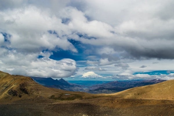
The valley of the General Carrera Lake.
Very few miles go by the riverbed and you get back into the forest again without even realizing it, as you’re in the middle of a thick forest, crossing rivers and jumping fallen trees. You start to climb the first big hill of the day. You don’t really notice you’re gaining vert until you find yourself above treeline navigating a massive boulder field that leads you to El Peñon. This is the name of the settlement you need to pass in order to get to the other valley and it’s considered to be a true mountain pass even though it’s less than 5,500 feet high. You will find some… or a lot of snow here depending on how the season was as well as some crazy wind that will hit you hard in the face. This is the first really technical part of the circuit and it requires your attention especially on the downhill on the other side. Even though the trail gets lost here, it’s really easy to find the right direction as you need to point to the next valley and forest right in front of you, being extra cautious on the loose rocks that lead you that way.

View of Paso El Peñon in the background.
Once in the forest again, the trail goes up and down with lots of river crossings (most of them with bridges) until you find yourself at the bottom of the Cerro Castillo massif. Down here you can feel the cold of the glaciers above you. The views are just unreal. The most famous campsite of the park is here and you can definitely see why. La Tetera offers an unbeatable view of the trail that you’ve covered so far (you can see up to El Peñon) and being at the bottom of the rock formations that give the mountain the name Castle Peak. You have a unique perspective of the place surrounding you.
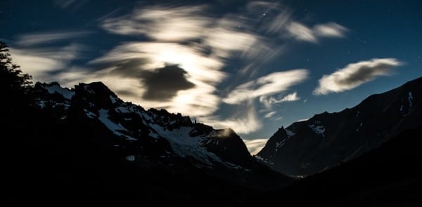
The night sky while camping at La Tetera.
As soon as you leave this spot, you find a turquoise lagoon—Laguna La Paloma—that marks the start of the second big uphill of the circuit and the most difficult segment of the trek. You start right at the end of the lagoon, climbing into a boulder field that leads you to a plateau that offers (for the first time) a view of the Cerro Castillo village and the vast land of southern Patagonia. At this point you’re halfway to the top and from this point, as you gain altitude, the wind becomes a serious thing (even when the sun is high and bright). When you hit the top of the hill, you can see the tiny lagoon behind you and another perspective on the peak above, plus all the amazing mountains to the west.
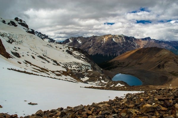
Lagoon La Paloma.
The downhill to the next campsite (Porteadores) is pretty tricky at first, mostly because the official marks (that work as guides for not loosing direction), are not so easy to find, especially when you’re focused on getting down the rocky sections in one piece. This segment is pretty short, but it seems longer for the time spent covering it. You should be especially careful with bad weather and bad visibility. (Most of the hikers who get lost in the circuit do so in this area.)
Once you are done there, you go down to another valley. At this point, you have the option to go further down to the exit of the park or add a couple of miles and some vert to the last campsite of the circuit (Campamento Chileno) as an out-and-back. Climbers use this campsite as their basecamp for climbing Castle Peak and, in my opinion, it’s definitely worth the extra effort to go, as you get to see the backside of the massif and additional lagoons. Whether you choose to go down immediately or not, the trail to the exit of the park is the same. At the end of the trail (which marks the official exit of the park) starts a three-mile fire road to the village of Cerro Castillo, which is where everybody finishes their journey. Here, you can find a proper bed for having a good night of sleep and, of course, a decent local meal as a reward for the effort… all this with Castle Peak as a postcard background.
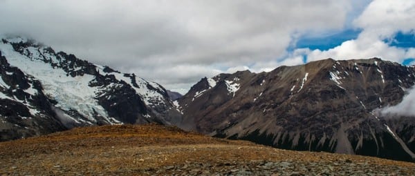
Just a regular view from one of the high points on the Cerro Castillo Circuit.
As you would imagine, in the 34 miles and 7,200 feet of vert that covers the whole circuit (including the Campamento Chileno) you will find a little bit of everything: from smooth, perfect singletrack to thick forest with Patagonian fauna and two mountain passes that definitely make you feel like you’re climbing a big peak, even if they are not as high as you may think. As a guy who has been in Torres del Paine (which is a lot more famous than this trek), I can assure you that this is as amazing and breathtaking as its more famous counterpart and even wilder. You find less people during the season and it has a lot less infrastructure overall.
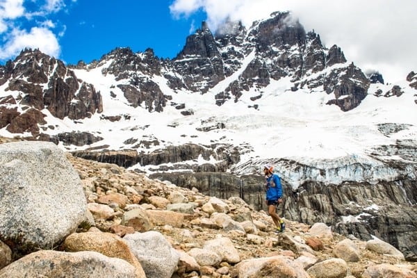
Climbing from the lagoon to the highest point of the route.
Usually, to cover the whole circuit takes hikers from three to four days, but a fit trail runner with a decent map of the area and some good indications could easily do this in a single day or fastpack it in two. Now, if you are wondering why you should try this in a faster fashion than the average hiker? Well, I suggest you use your fitness to cover the official trails in less (but comfortable) time, so you get the chance to explore more of the area and its unofficial trails. Plus, running the Cerro Castillo circuit is really, really fun.

View of the Ibañez River.
Call for Comments (from Meghan)
Have you run, hiked, or backpacking along all or part of the Cerro Castillo circuit? What was your experience like? What can you add to this article to help future adventurists?
